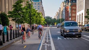
Brandon Avenue has major issues. It is a road that is dangerous for people biking, walking, and driving. It is home to one of the most mindboggling intersections I’ve ever seen and two of the closest grocery stores to downtown Roanoke.
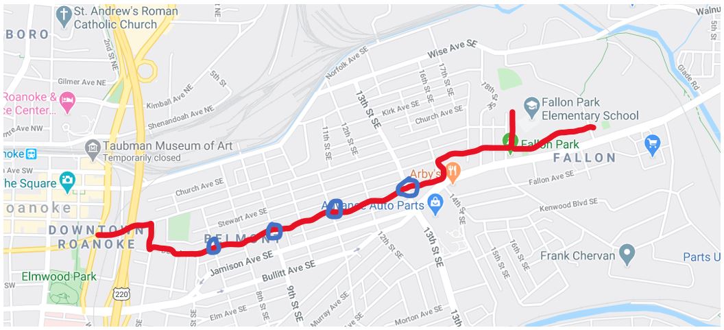
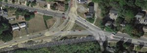
As I said in my statement to the City Council, Brandon Ave was identified as a priority corridor in the 2012 Bicycle Plan adopted by the Roanoke Regional Commission and for several pedestrian improvements in the 2015 Pedestrian Plan. As a corridor Brandon Ave from Main Street to Franklin Street sees multiple crashes per year, including at least one fatality each of the last two years and numerous serious injuries according to data from the Virginia Department of Transportation.
To improve Brandon Avenue, I think that the City needs to think radically. The City needs to consider a full reconfiguration from Brambleton to Franklin. Thinking radically in this case, for me, means going from four full travel lanes to two full travel lanes, one two-way left turn lane with periodic pedestrian refuges and marked crosswalks, and good bicycle facilities.
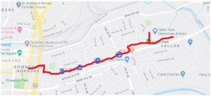
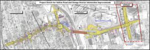
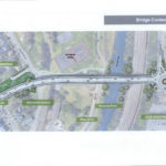
The current condition of Brandon Avenue between Main Street and Towers, and some options for a better configuration.
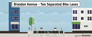
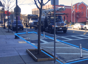
Brandon Avenue could easily have two separated bike lanes
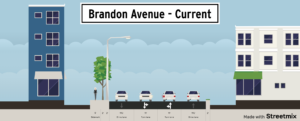
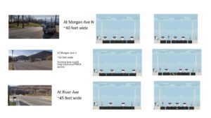
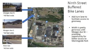
Brandon Avenue current conditions

Brandon Avenue with a cycletrack

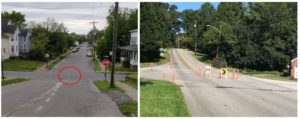
Potential crosswalks for Brandon Ave
Going from four lanes to five lanes (with two of them just happening to be bike lanes), may feel radical because it is a major change, but it is not radical from a technical perspective. The Road Diet Informational Guide from the Federal Highway Administration (FHWA) includes lane reconfigurations like this for roads with up to 26,000 annual daily traffic (ADT). Brandon Avenue is around 21,000 ADT, well under the maximum reviewed in that guide and just on the border of roads considered “good candidates” by FHWA.
FHWA promotes lane reconfigurations like road diets because the two-way left turn lane helps maximize the efficiency of the roadway while reducing crashes between 19 and 47 percent and significantly improving bicycle and pedestrian safety. FHWA has endorsed the type lane reconfiguration I propose here through their Proven Safety Countermeasures and Every Day Counts programs. I have chosen to say that changing Brandon Avenue is radical because I believe it captures how the City of Roanoke may feel about it, not that these changes are new, innovative, or outside of the mainstream of traffic engineering.
Roanoke has already done a good job of identify places where lane reconfigurations can improve transportation. Of all Virginia localities surveyed by the Virginia Department of Transportation, it was the third locality in terms of number of lane reconfigurations reported. While Brandon Avenue would be the biggest lane configuration project yet, the city has received positive feedback on other similar projects and not a single similar project in Virginia has had most of its feedback be negative.
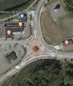
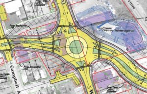
One of the major upsides of being radical is that the needs of the intersection at Brandon and Main might be altered so that it can be converted into a single lane roundabout – fixing one of the worst intersections in Roanoke. Or the intersection may otherwise be simplified.
Without major changes Brandon Avenue will continue to be a road that dangerous for all of its users and that creates a barrier for most people biking and walking in Roanoke. It may feel radical to change it, but the alternative is a choice to accept crashes, accept traffic, and accept that things cannot improve.