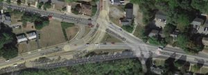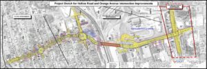
Brandon Avenue between Colonial and Brambleton Avenue was scheduled to be milled and overlaid in June of 2021.
Brandon Avenue was scheduled to be milled and overlaid in 2021 no matter what. It was on Roanoke’s paving schedule, which is publicly accessible for the next three years. While not every road is repaved during the year that it is scheduled, Brandon Ave was going to be repaved in 2021. It is a major road, an arterial to one of the closest commercial complexes to downtown. Repaving Brandon Avenue is disruptive, most people in Roanoke would notice it, and it was scheduled for 2021.
On May 15, 2020 Mackenzie Byers was hit by a driver on Brandon Avenue and later died from injuries sustained in the crash. According to data from the Virginia Department of Transportation, at least two other pedestrians hit on Brandon Ave suffered incapacitating injuries between 2013 and 2020. Prior to Mackenzie’s death, it was unclear what the City of Roanoke would do when it repaved Brandon Avenue.
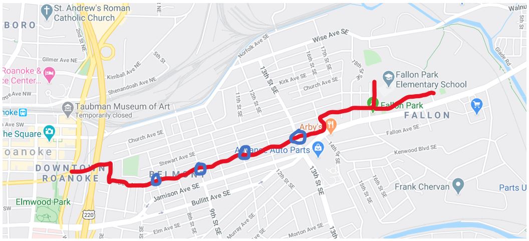
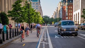
Mackenzie Byers’ death galvanized people asking for a safer Brandon Avenue. In surveys conducted by the City of Roanoke Transportation Department 63% of people indicated that they supported a road diet that eliminated one travel lane to provide for a turn lane and two buffered bike lanes. A crosswalk was placed close by the intersection where Mackenzie Byers was struck.
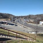
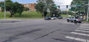
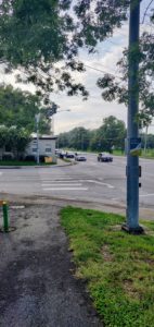
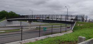
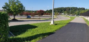
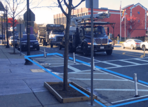
Brandon Ave in Feb 2022
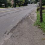
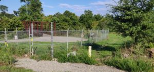
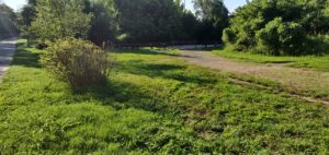
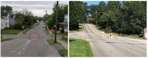
Shallow sidewalk along Brandon Ave before repaving
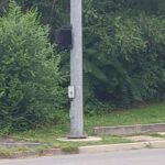
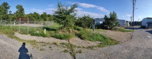
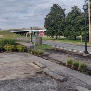
Pedestrian pushbutton inaccessible from Tropical Smoothie Cafe
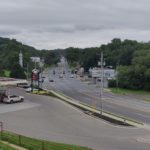
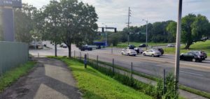
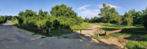
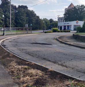
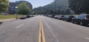
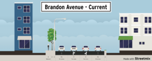
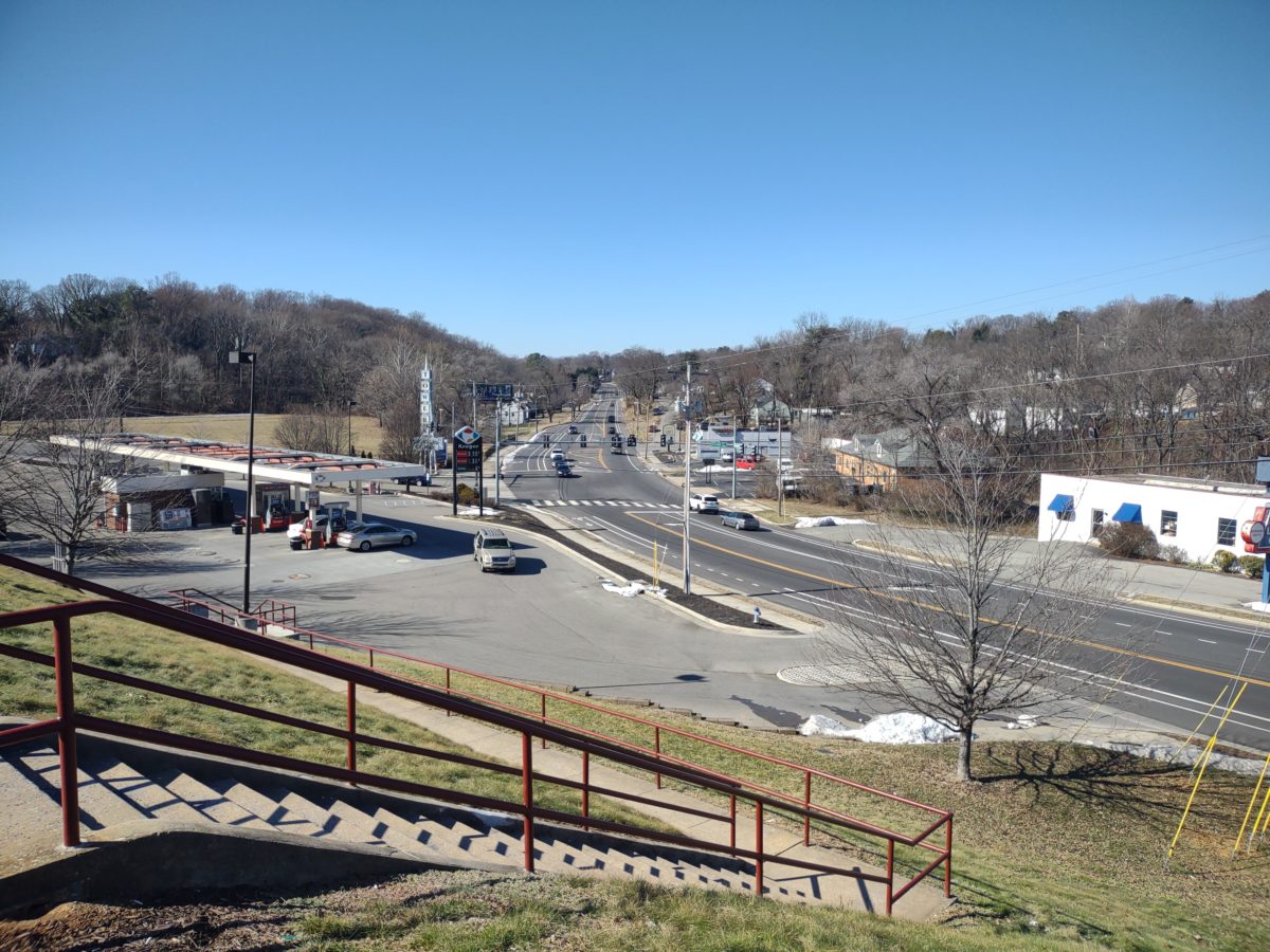
Brandon Avenue before repaving
Brandon Ave was identified as a priority corridor in the 2012 Bicycle Plan adopted by the Roanoke Valley Alleghany Regional Commission and for several pedestrian improvements in the 2015 Pedestrian Plan. In repaving and restriping Brandon Avenue the city delivered on its recently adopted Comprehensive Plan that promises a Livable Built Environment and Healthy Community. The Roanoke Valley Alleghany Regional Commission Bicycle and Pedestrian Advisory Committee held a site visit for Brandon Avenue. About a dozen people walked the length of Brandon Avenue from Towers Mall to the Main Street intersection. A couple biked the route and side streets. Bicycle and pedestrian deficiencies were noted, including:
- A sidewalk on only one side of Brandon Ave.
- A transit stop with a small waiting pad at Malcolm Street NW.
- No bike lanes.
- No crosswalks.
- Limited crossing points at 23rd Street SW, including a pedestrian landing that does not connect to the sidewalk in front of Tropical Smoothie Cafe.
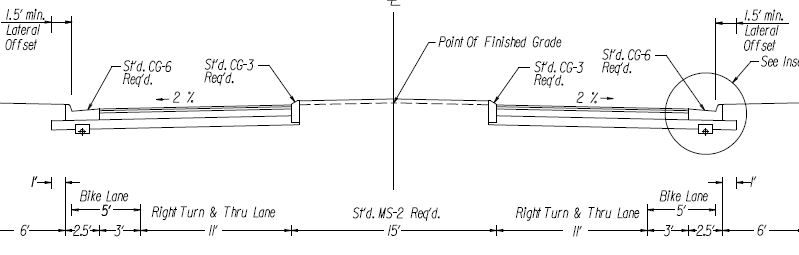
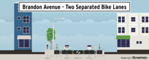
When Brandon Avenue was repaved it was striped with two travel lanes, two buffered bike lanes, and a center turn lane. At some points additional lanes are available to cars and trucks.
As a person who bikes regularly from Wasena to Towers Mall, the changes to Brandon Avenue change my experience and choices of how I ride.
- I used to be scared to bike on Brandon Avenue, as I perceived that many people drove 35-40 mph when it was signed for 30 mph.
- I used to be scared because there were no bike lanes, and that fast traffic was frustrated to be stuck behind me at 15-20 mph.
- I used to regularly use Windsor Avenue, as described in this blog post, in order to avoid Brandon Avenue.
Now, when I bike to and from Towers Mall, I ride on Brandon Avenue:
- It feels 30 mph now, with less speeding..
- With the buffered bike lanes, I feel safer as traffic does not come up directly behind me.
- With the bike lane going up the hill, I ride to the entrance in front of Kroger rather than taking the longer turn up 23rd Street SW.
- It is legitimately nice to pass stopped traffic heading down the hill to the intersection at 23rd Street SW.
- It still feels awkward between Malcolm Street and Main Street, due to overhanging trees that obscure traffic lights and shared lane markings.
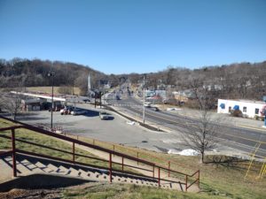
Brandon Ave in Feb 2022
Overall, I’m honestly surprised how large of a difference the restriping made. It feels like a very different road. It feels safer. It feels like a place that I can include on a bike ride without having to warn a newer rider. It feels like a great response to one of the biggest dangers for people walking, two lanes of traffic in the same direction where one lane may stop and another may not. I hope this is a sign of things to come in Roanoke and the United States. Fewer lanes, lower speeds, more biking, more walking. Changing our streets is difficult, but it’s possible and Brandon Avenue is a great example of taking an opportunity to improve a street for the better.